
SediMeter™
Environmental Monitoring of Sedimentation, Erosion, and Turbidity
What the SediMeter™ Does
The SediMeter measures erosion and accumulation of sediments with a resolution of 0.1 mm or better. It can also be used to measure near-bed turbidity, which is intimately related to the sediment concentration.
How the SediMeter™ Works
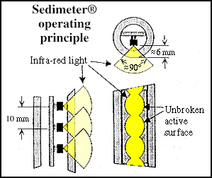
The sensor is a rod, 20 mm diameter, that is immersed into the bottom. Measurements are made using infra-red back-scatter detectors, to minimize the influence of ambient light under water.
If a specific detector is below bottom level, the signal level from that sensor approaches 100%. If it is far above the bottom level, the signal is a function of sediment concentration in the water. If it is close above the bottom, the signal is a function of the distance to the bottom. A sophisticated built-in algorithm interpolates the precise level of the bottom.
Deployment
The original mounting method, described here, is designed to be used on bottoms where there is at least 50 cm of sediments, allowing the mounting screw to be firmly fixed in the bottom. Models SM4P and SM5 are instead pushed/beaten down, or mounted to a fixed structure. The SM4P has a dual role; it also functions as a penetration sond, hence the “P” in its name.
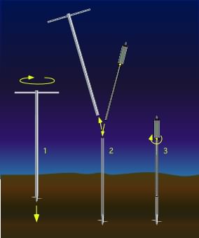
A diver screws down the holder, removes the handle, inserts the SediMeter, and locks it in place with the yellow screw. When it is time to recover the data and exchange battery, he or she can put another unit directly into the same holder, thus allowing a continuous measurement series to be made.
Data Handling
The data are logged internally, and/or reported in real time over an RS485 communication cable. A radio link can also be used, and we offer the SediLink for that purpose. It is designed to sit on a buoy, and has a built in mini solar panel.
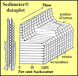
The firmware stores the backscatter from every single level, as shown in the attached illustration from the original 1991 paper. It also interpolates the position of the bottom with a resolution that is much higher than the accuracy, in order to allow for subsequent statistical analysis.
SediMeter Software
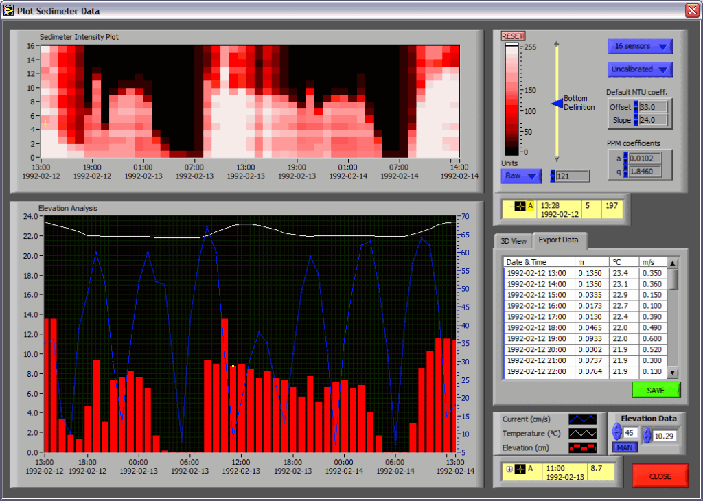
A software package which uses the Runtime engine of LabVIEW from National Instruments is available free of charge. It allows for analysis of the data and export in various formats. The image to the right (from the original version of Lindorm from 20 years ago) shows clearly how the interpolation of a single bottom level is accomplished from the turbidity data.
Importantly, it also illustrates that the turbidity data contains immensely more data than just a level value — which, to be sure, is not even clearly defined in some environments. Thus, measuring the sediment-to-water interface with a SediMeter is vastly superior to deploying a remote sensing instrument that just measures the bed level.
SediMeter™ generations

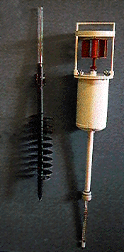
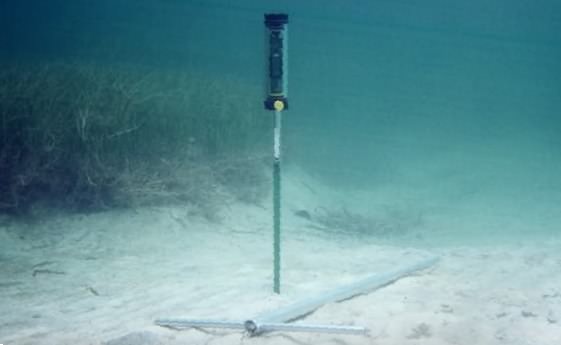
The first from Lindorm
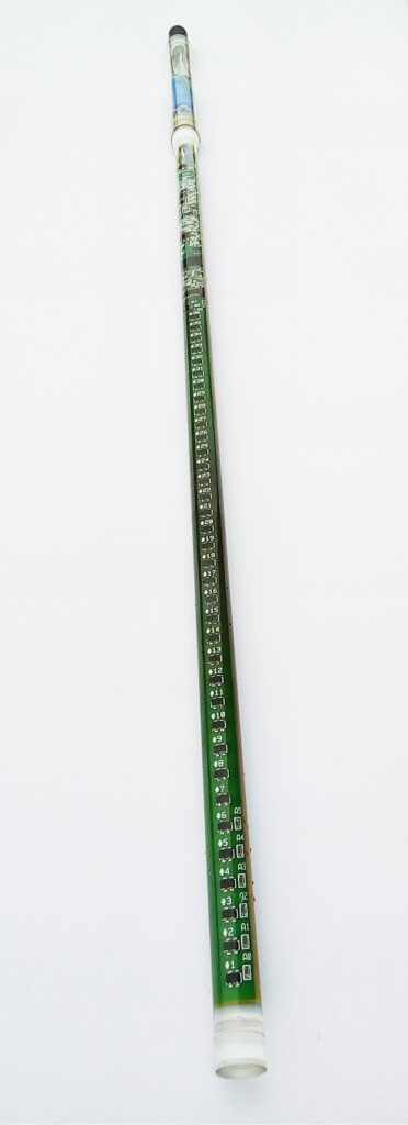
The first model without an enlarged logger house.
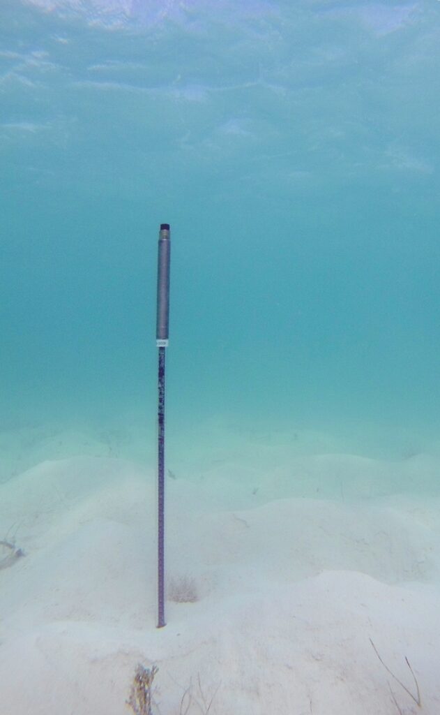
The copper-nickel section houses a larger battery, and a number of additional sensors were added, including 3D accelerometer, turbidimeter, and fluorescence meter.
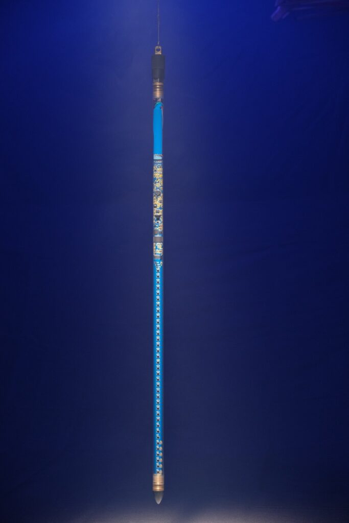
Built in a custom-ordered thick-walled PC tube, the SM4P is programmed to also work as a Penetration sediment profiler dropped from a boat or the ice, a SediSond™.
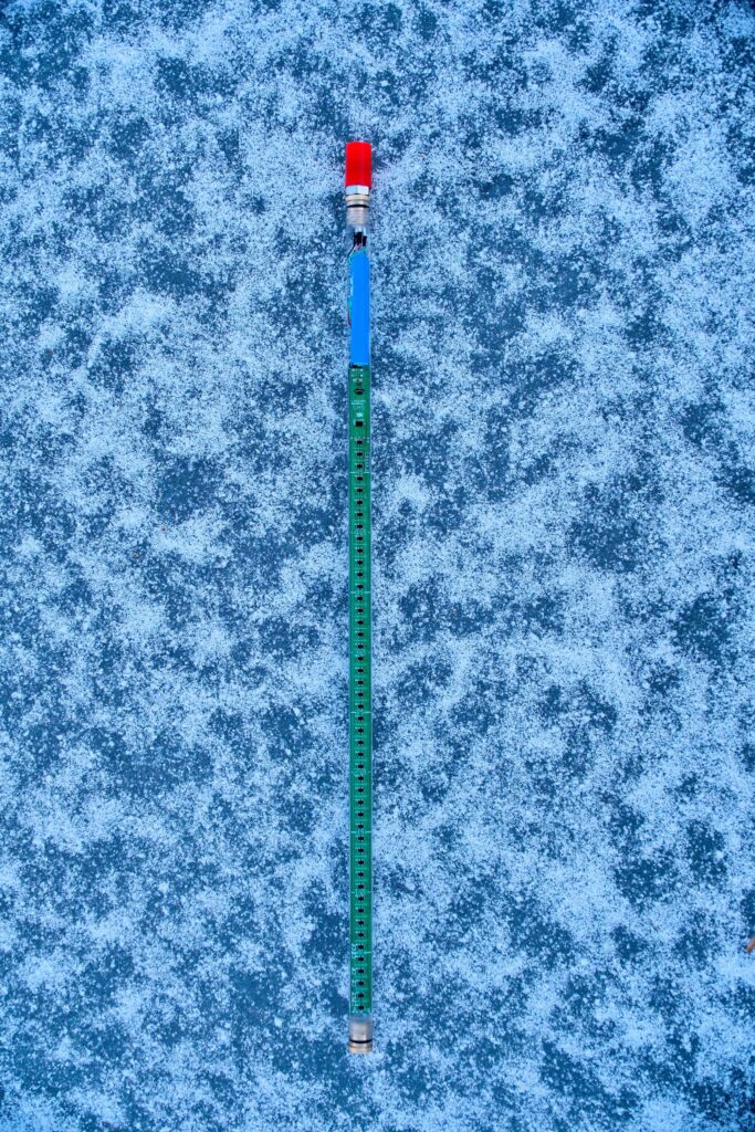
The fifth generation features the biggest new development since the 1986 prototype, in that the sensor logic has been redesigned to make it virtually immune to daylight, also above water in daytime. It is also longer. This opens up entirely new application areas.